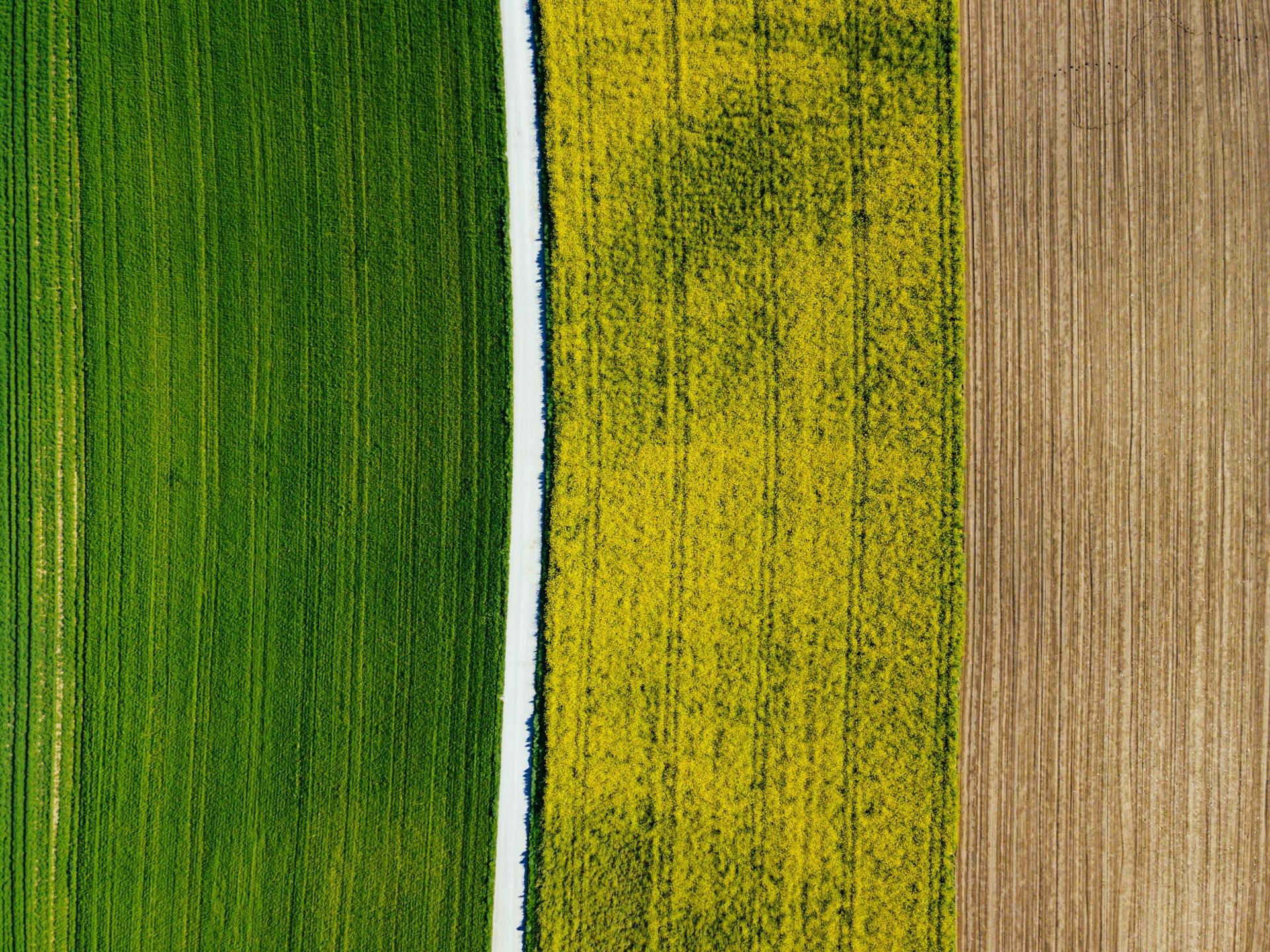
Capture high-confidence field intelligence with vegetation indices, weed treatment mapping, and digital surface models that support faster, more precise decisions.
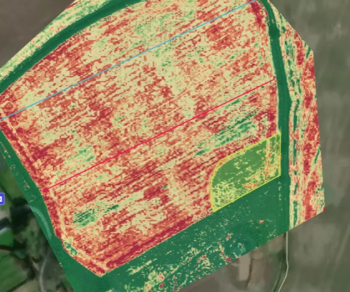
Vegetation Index Maps
Using multispectral mapping, our drones can create detailed vegetation indices that highlight crop and plant health across your fields. This shows which areas are growing well, and which may be under stress or could benefit from extra nutrients.
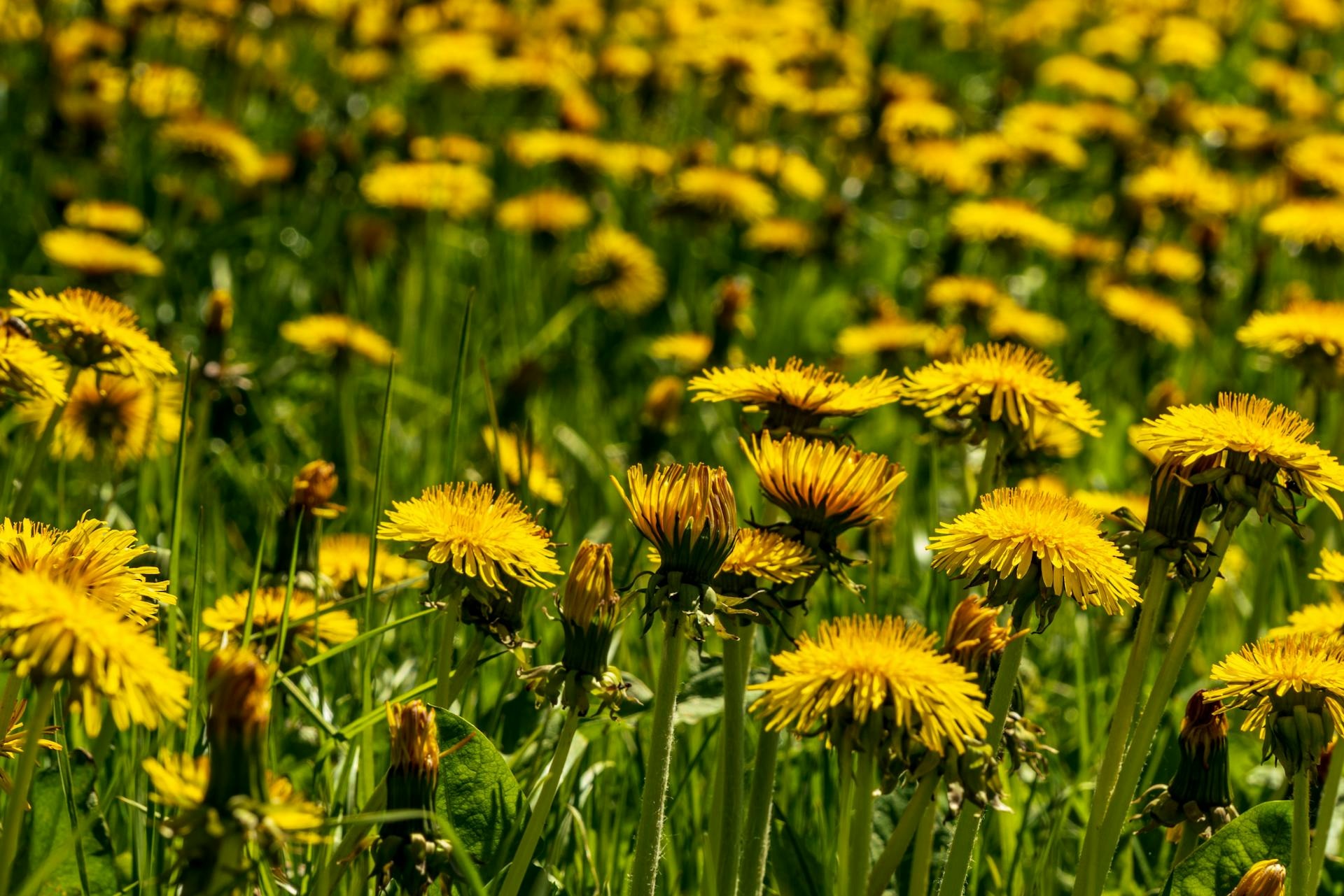
Weed Treatment Maps
Using high-resolution RGB imagery with precise positioning, our drones can identify and map weeds across all crop types. This allows us to produce coverage reports and treatment maps, so spraying or section-controlled machinery only targets the areas that need it, saving time, inputs, and reducing environmental impact.
Digital Surface Maps
Every time our drones fly a field, we create a digital surface map (DSM) that shows changes in land height. This helps identify low areas, track how water will flow, and predict potential runoff or erosion spots.
The DSM can also be used to measure stockpile volumes, calculate cut and fill for earthworks, or plan drainage and land grading. All data is ready to be used in CAD software or directly with grading machinery, making planning and field work more efficient.
Looking for smarter, more efficient ways to manage your farm?
Get in touch with our team and discover how drone technology can work for you.